

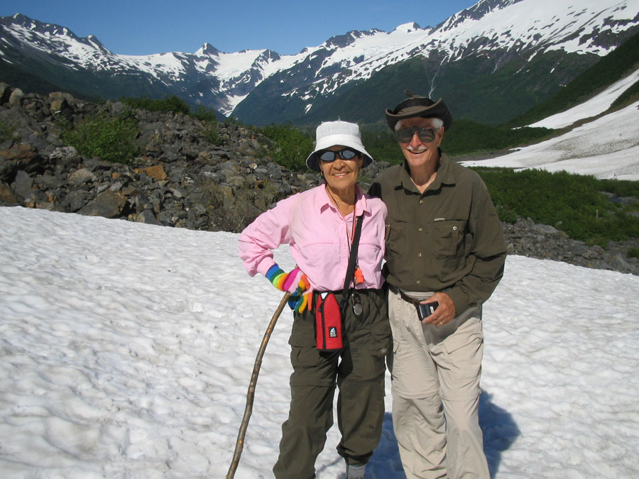
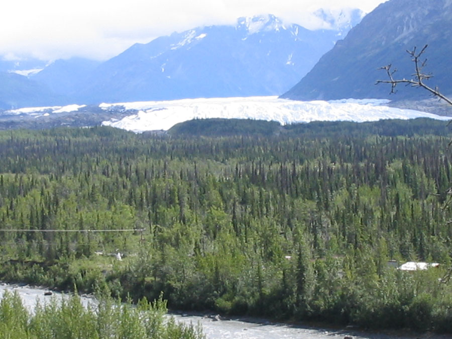
 Valdez waterfront
Worthington Glacier
posted by Phill at 10:59 AM
|
0 comments
![]()


posted by Phill at 10:46 AM
|
0 comments
![]()
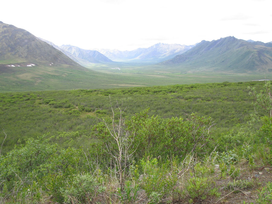
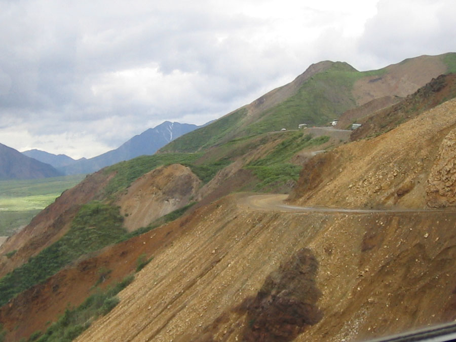 Polychrome Pass in Denali
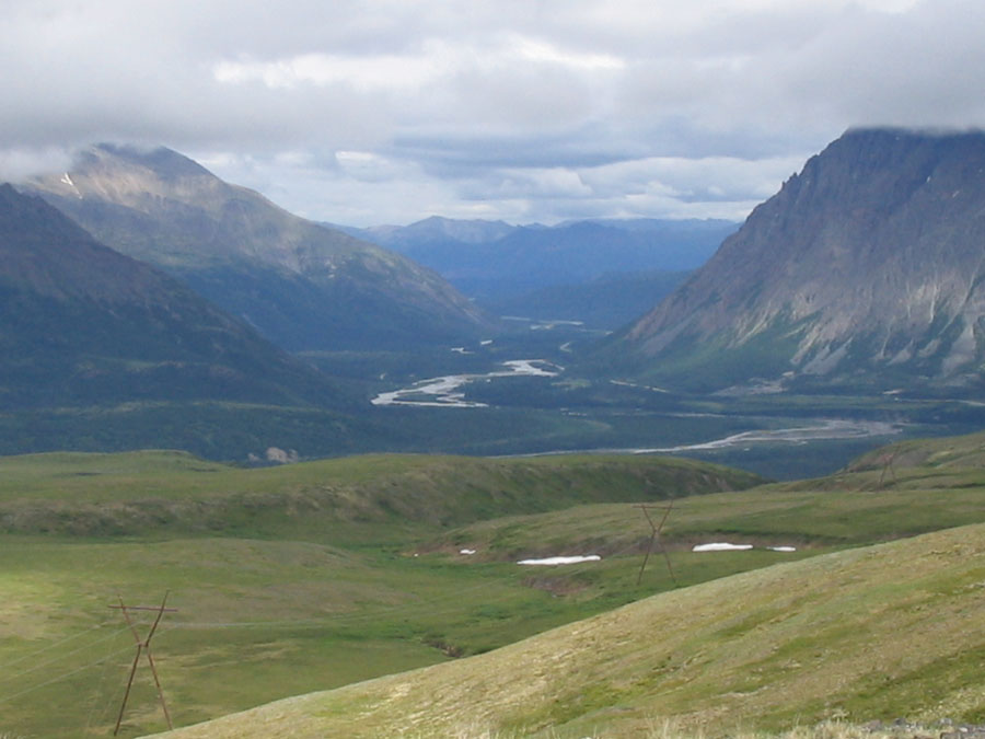 View from Reindeer Mtn nr Cantwell, AK
 Mr & Mrs Klaus at north Pole AK
 Iditerod HQ, Nr Knik, AK
posted by Phill at 9:23 AM
|
0 comments
![]()
 Top of the World Hwy, Yukon
 Goldfield dredge nr Dawson City
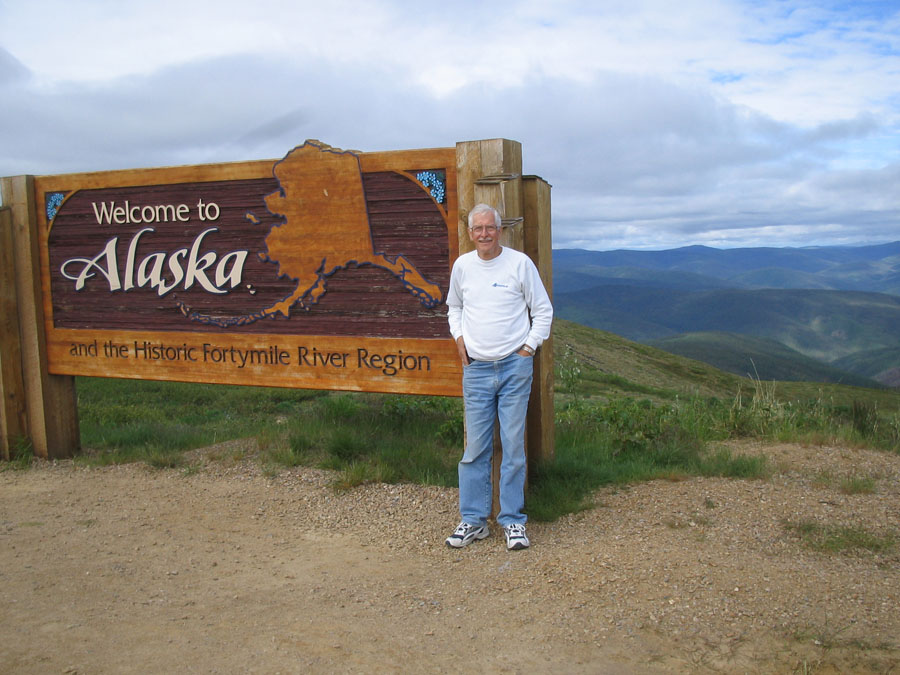 Welcome to Alaska, Top of the World Hwy
posted by Phill at 9:19 AM
|
0 comments
![]()
We left Dawson City and took the Top of the World Highway to the Alaska border and then on to Tok, AK. We did this with some trepidation as we had been warned that this was a rough highway and had at least 40 miles of rough gravel on the US side to a town called Chicken! We heard views from all kinds of Knowledgeable people and then decided to risk it. It was a beautiful ride, the views superb. Gigantic valleys from high elevations and the road was rough in parts. The worst being about 10 miles after crossing the border. That was certainly the most casual crossing weve taken into the USA for some time!
posted by Phill at 9:24 PM
|
0 comments
![]()
 Our Parks Canada guide
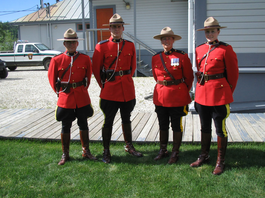 Mounties from the parade
 Dawson City from The Dome- quite a hike
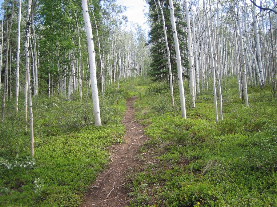 The trail up to the Dome
posted by Phill at 3:57 PM
|
0 comments
![]()
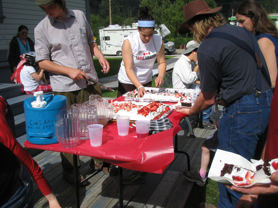 Canada Day in the park Dawson City
 Dawson City ruins
posted by Phill at 3:54 PM
|
0 comments
![]()

posted by Phill at 6:30 PM
|
0 comments
![]()
 The SS Klondike, now a Nat.l Historic site at Whitehorse
 Whitehorse from Grey Mountain
posted by Phill at 9:56 PM
|
0 comments
![]()
 Shore of Lk Bennett at Carcross
 White Pass. Old rail trestle, but no rail for the early prospectors
 Mountains near Whitehorse
posted by Phill at 9:46 PM
|
0 comments
![]()
 Signpost City
posted by Phill at 8:48 PM
|
0 comments
![]()
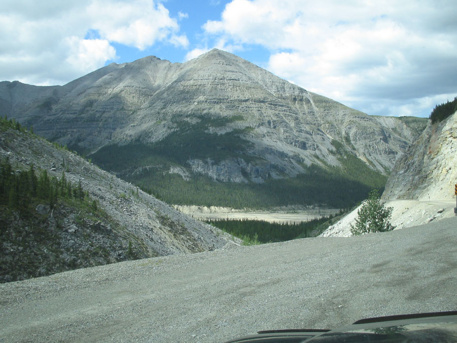 Stone Mountain area
 Stone Mountain area
posted by Phill at 8:41 PM
|
0 comments
![]()
When you look at the 6500 km that leads from Elliot Lake to Anchorage, you soon realise that, with stops along the way, it is probably going to take 2 weeks just to get there. At the same time, you think you will be in the mountains some time in Alberta, probably just north of Edmonton- well....Wrong!, You actually follow the Rocky Mountain Trench and this goes on until you are north or north west of Fort Nelson. Similarly, you think the Alcan (Alaska Hwy) will be a rough track and in effect it is a smooth paved road with the odd area under repair. Fuel gradually gets more expensive as you get more to the north, until in Dawson City, actually on the klondike Hwy, it is $1.25 per litre.
posted by Phill at 6:30 PM
|
0 comments
![]()


