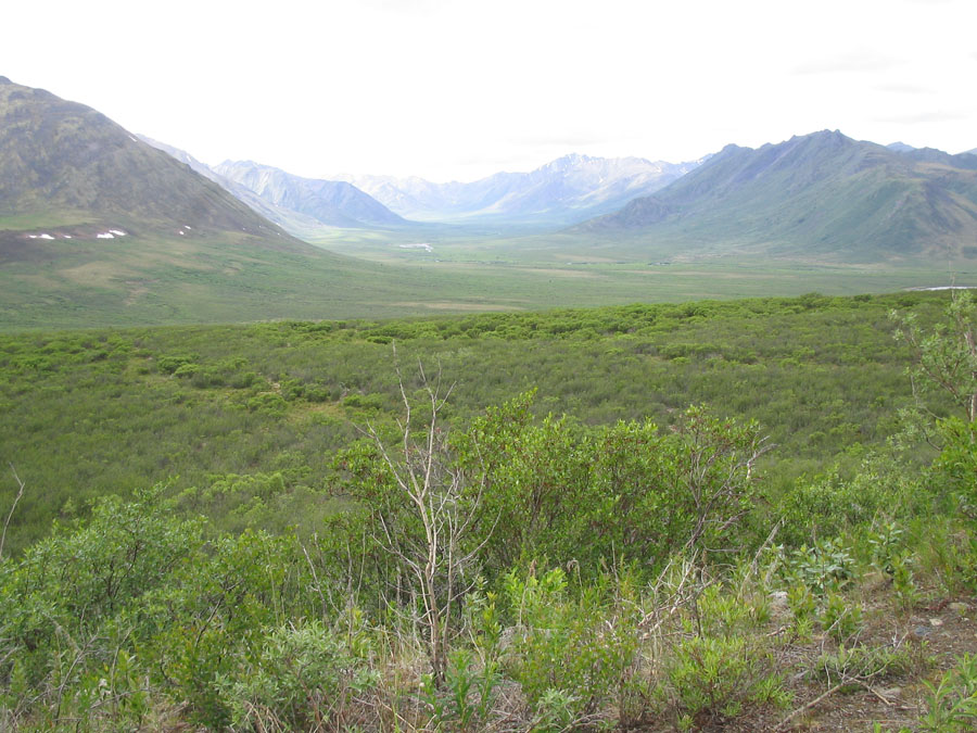
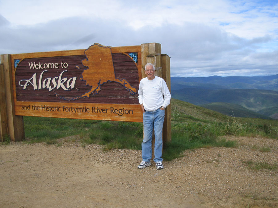
We left Dawson City and took the Top of the World Highway to the Alaska border and then on to Tok, AK. We did this with some trepidation as we had been warned that this was a rough highway and had at least 40 miles of rough gravel on the US side to a town called Chicken! We heard views from all kinds of Knowledgeable people and then decided to risk it. It was a beautiful ride, the views superb. Gigantic valleys from high elevations and the road was rough in parts. The worst being about 10 miles after crossing the border. That was certainly the most casual crossing weve taken into the USA for some time!
We camped at Tok, in existance only as it was a fuel depot on the Alaska Hwy during construction. Found, as usual, friendly people and ran into a fellow we had camped beside further back. You keep running into people you have met somewhere else as we are all heading in the same direction up the same road.
From Tok to Fairbanks where we stayed in the suburbs at North Pole and met Mr & Mrs Klaus!
There is a really good museum at the university, worth the visit.
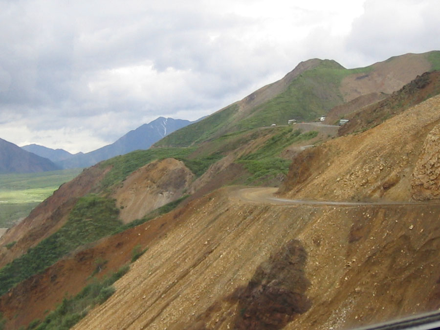
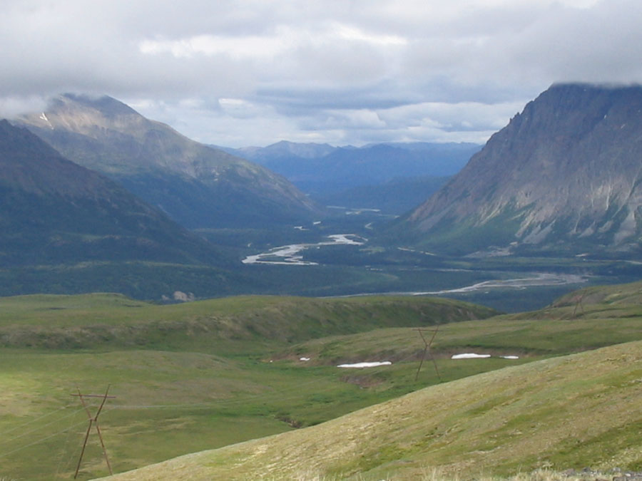
On then to Denali area. We camped just south of the park and did a great hike up Reindeer mountain with great views. Took a bus tour into the park - the only way you can tour there - 8 hours. This is impressive scenery and they take great care to keep it that way! The drive over Polychrome Pass in a bus is something else - not for those that fear heights. Unfortunately, Mt Denali, a notoriously shy mountain, was not visible. But we got glimpses of it while we were in the area.
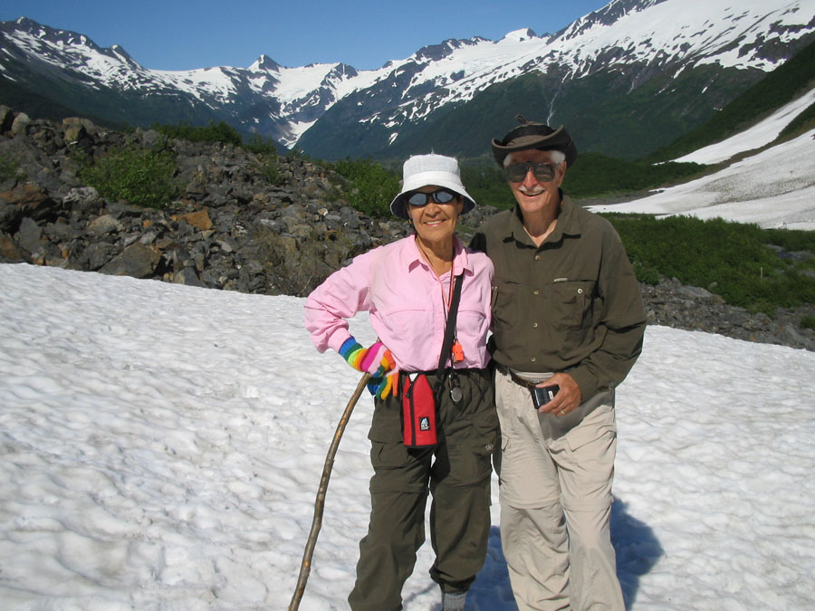
Then on to an area south of Anchorage, Portage Valley. The town of Portage was destroyed in the 1964 earthquake. We took a day trip drive down to Seward through very mountainous country. A great drive.
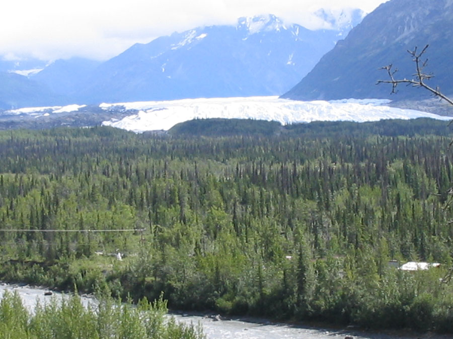
Yesterday we drove into Whittier, a strange little port accessible only thru the longest tunnel in N. america and shared by the railway, and took a 5 hour cruise of 28 glaciers in Prince William sound. What a trip! We were lucky to see some calving on one of the biggest ones.
We are now in Anchorage for a couple of days and will be heading back to the Alcan from here.
 Smiths Falls, Yk
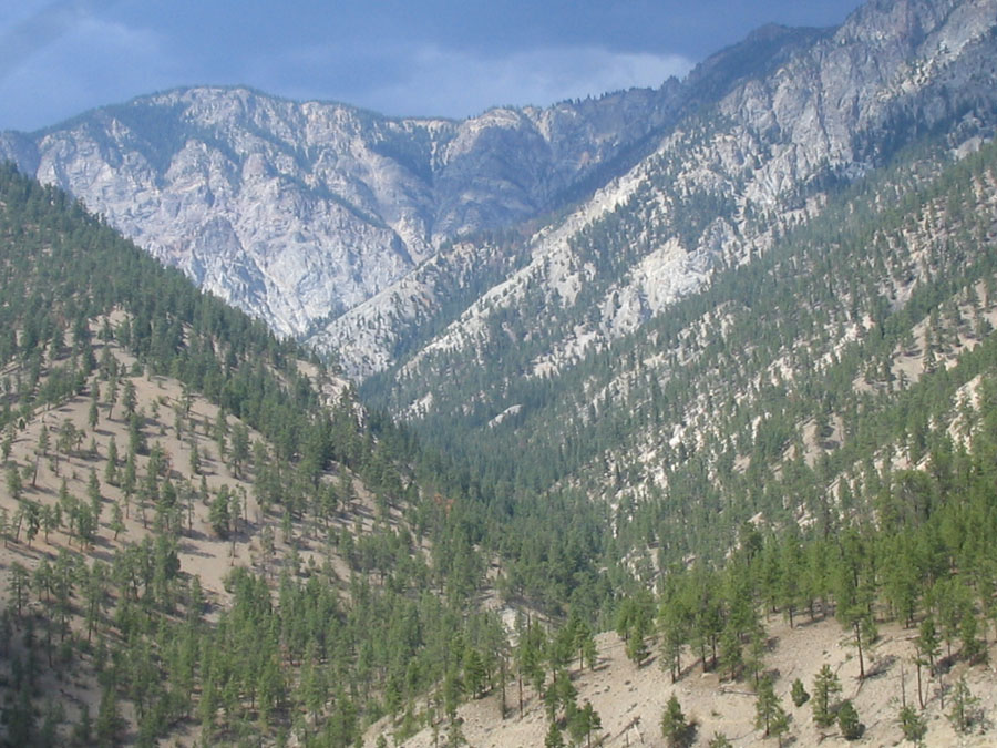 Fraser Canyon, B.C.
 Coquihalla Highway, B.C.
 Below Smiths Falls, YK